For any new carbon project, Nakau and our local project partners spend time speaking with customary landowners about how they use their land.
Coupled with other data, like geospatial mapping, this is one way we understand the threats to a forest and ensure a carbon project can maintain land rights and access for the people who depend on the forest.
Four reasons why we do land-use planning
Localised planning – Land-use planning is a participatory process that empowers customary landowners and their communities to plan for future land use, including project activities and conservation regulations that support local livelihoods and engagement with a carbon project.
Conservation – The land-use planning process is used to develop a conservation plan that guides the activities of a carbon project. It informs the operational work plan for rangers working for the community-owned carbon business. And it places the community conservation area or protected area within a broader plan for local livelihoods and land use that covers the whole tribal land area.
Permanence – Ensuring high levels of community buy-in to a carbon project, its activities and the rules governing the project area provides higher levels of certainty that the carbon stored in the forest will remain there. Community ownership of the land-use planning process helps ensure carbon permanence.
FPIC – Any decisions made under the project that could impact local, Indigenous land rights must meet rigorous FPIC standards (free, prior and informed consent) to ensure land ownership and usage rights are protected. The land use planning process ensures in-depth, participatory and community-led discussions to support a genuinely free and informed consent process before any decision about the use of customary lands can be made.
Planning in practice
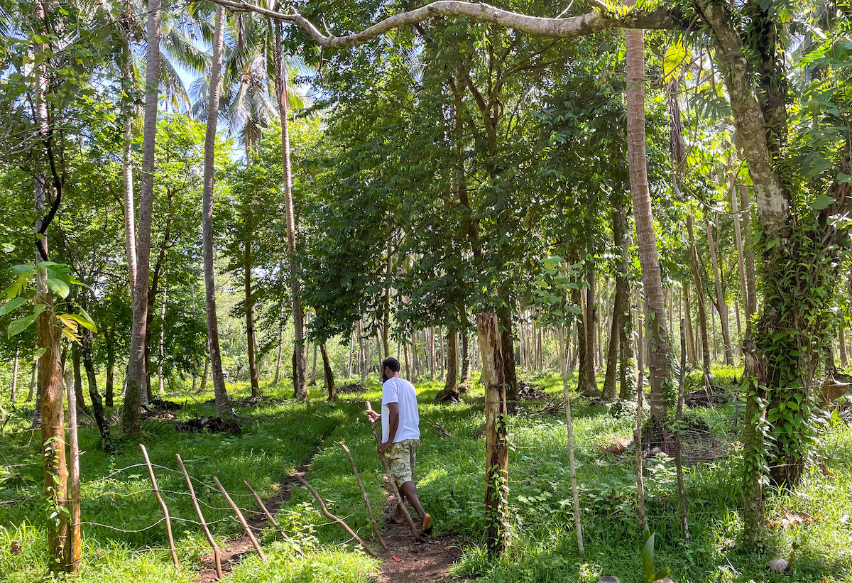
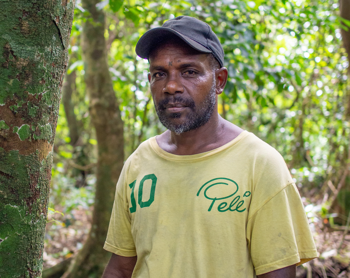
In Vanuatu, Nakau and Live & Learn Vanuatu have been working with two communities — Penoru, on the far west of Santo Island and Loru in north-east Santo — as these customary landowners explore options for conserving their forests.
For the Penoru community, forest carbon is a very new concept requiring a lot of discussion and community education to support consultations. But at Loru, the Serakar Clan have been successfully running a forest carbon project with Nakau for over 10 years, and conversations there are focused on the next stages of their project.
In each case, this process includes land-use planning with the community using a participatory approach and held in accessible locations to ensure engagement and participation from women and other marginalised groups.
In a sphere of customary life normally reserved for men, women from Penoru and nearby Ravlepa villages and women from Loru attended the land-use planning and education workshops to learn about carbon projects and contribute to the plans for future land use.
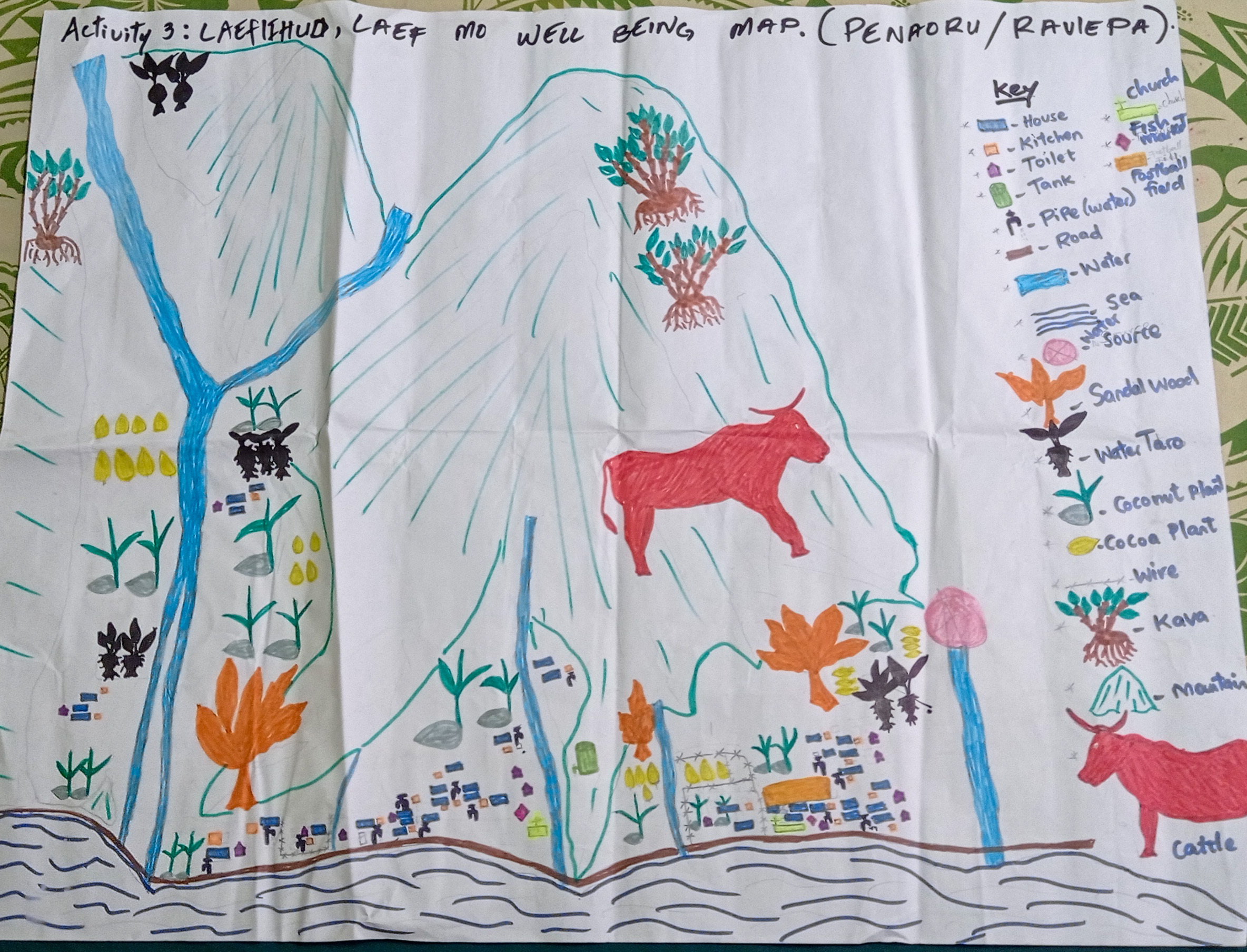
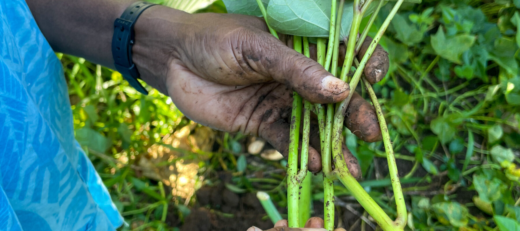
Community members mapped how they use their lands on a shared map — including dedicated areas for food gardens, cash crops like kava, places where they collect firewood and building materials, as well as places where the forest will be protected, or where forest restoration activities such as weed management will happen.
“The Penoru community have a strong connection with their natural environment,” says Live & Learn Forest Carbon Officer Rexly Bune who ran the land-use planning workshops.
“They have a big land mass with forest that sits outside of their community conservation area. [Within the conservation area] they have established some areas for use [take zones] and some are permanent conservation no-go zones,” he explains.
“Community members collect resources in the take zone — [like small-scale timber, medicines, wild harvest food] — while food gardens and other farming activities happen right outside this zone and outside the community conservation area.”
At Loru, after years of implementing a forest carbon project and protecting the forest through kastom tabu and a community conservation area, Chief Skip Ser says:
“Conservation is now in our blood. Our kids come to the forest with us regularly and think it’s just normal to do conservation work”
Good land-use planning and mapping helps people identify where they are impacting and degrading their critical ecosystems and the ongoing negative impacts this will have for their livelihoods. It also helps identify historical changes in land use over time, and what is driving this change.
In both Penoru and Loru, the communities’ vision for future land use is a way to address threats and drivers of change, and to explain how they wish to manage their conservation area to benefit the community — all captured in a practical conservation management plan.
For Penoru, their forests ultimately were not eligible for carbon project approval. However, the process of land-use planning was used to update their existing conservation management plans and will be carried into a subsequent climate change adaptation project implemented by Live & Learn Vanuatu.
At Loru, land-use planning will support the next phase of their work as a community conserving their forests — for many years to come.
Nakau uses the land-use planning participatory process across all projects we collaborate on and in all contexts.
Recent land-use planning workshops at Penoru and Loru were supported by Climate Resilient by Nature through the Australian Department of Foreign Affairs and Trade and WWF-Australia in partnership with Live & Learn International.